 tool. The
  shows you aerial photographs and topographic maps from the USGS via the
TerraSever USA website.
shows you aerial photographs and topographic maps from the USGS via the
TerraSever USA website.DrillingInfo allows you to view an aerial photograph or a topographic
mapped centered around the lat/long point clicked on your DrillingInfo
map after turning on the tool. The
shows you aerial photographs and topographic maps from the USGS via the
TerraSever USA website.
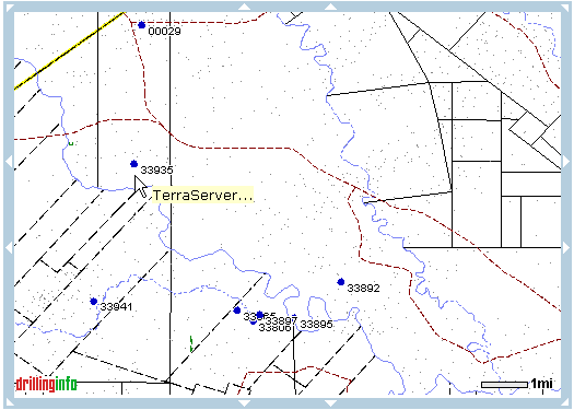
Follow these steps to use the  tool in the Map View:
1.) Click on the  button.
2.) Click a point on your DrillingInfo map
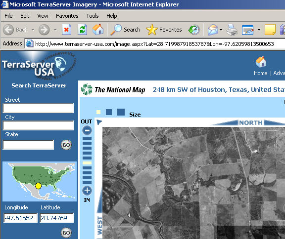
3.) A new window should open showing you an aerial photo on TerraServer USA.
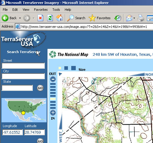
4.) To view a topographic map click the  tab.
tab.
5.) To download either of these images simply click the  link and then right click on the image and choose
"Save Picture As..."
link and then right click on the image and choose
"Save Picture As..."