For Texas maps only you can choose to add optional pipeline layers and subdivision layers. Oil pipelines will show up in green, gas pipelines in red and abstract/survey subdivision lines will show up in pink.
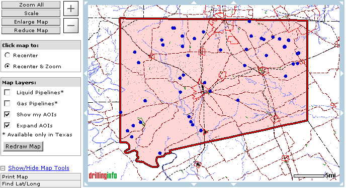
For any map you can choose to display Areas of Interest on the map (Note: This item will only work if you have set up AOI's in your Virtual Scout and they are located within the current map view) To view the pink outline of the area monitored by your AOI make sure that 'Expand' is also selected.
To make a change effective you must hit the Redraw Map button.
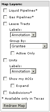
The options include:
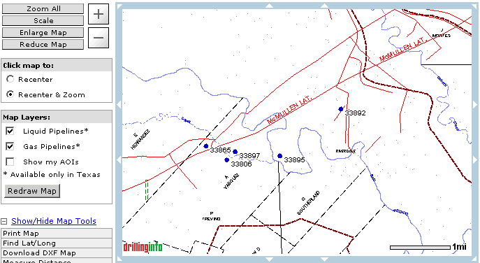
Liquid Pipelines: This works only in Texas at this time. DrillingInfo has outlines and labels for some pipelines however detailed information is not available at this time.
Gas Pipelines: This works only in Texas at this time. DrillingInfo has outlines and labels for some pipelines however detailed information is not available at this time.
Lease Tracts & Units: This data set is available as a specialty feature. To view additional detail on using this feature click here or to have this feature added to your account please contact Sales at (888) 477-7667 Opt. 1 or via email at sales@drillinginfo.com.
Show My AOI's (& Expand): This feature will draw your Areas of Interest in red and if you have the 'Expand' option selected you will also see the pink monitored area.
Subdivisions: This will display abstract subdivision lines in TX. The subdivsion lines will display in pink and show the subdivision number in the upper left hand corner.
The following is a section of the initial Goliad map redrawn with the gas pipelines:
The following shows the Goliad map redrawn with 'Show My AOI's' and 'Expand' checked.: