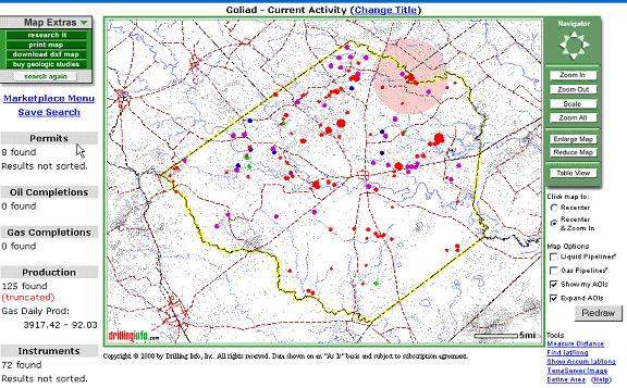
The Drillinginfo.com mapping system provides a variety of optional layers. Whenever changing these settings, you should hit the Redraw button. The options include:
Liquid Pipelines: This works only in Texas at this time. Drillinginfo has outlines and labels for some pipelines however detailed information is not available at this time.
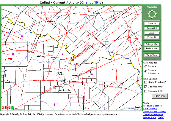
Gas Pipelines: This works only in Texas at this time. Drillinginfo has outlines and labels for some pipelines however detailed information is not available at this time.
The following is a section of the initial Goliad map redrawn with the gas pipelines:
Show my AOIs: If you have any AOI's defined (see Virtual Scout), you can choose to overlay those areas on your map.
Expand AOIs: If you choose to Show your AOIs on the map, you will have an additional option (checkbox) to display the expanded area. The "Expanded Area" is the border (like 1 mile) that you defined in your AOI.
The following shows the Goliad map redrawn with an AOI shown: